Diagrammatic Instructions to Specify Spatial Objectives and Constraints with Applications to Mobile Base Placement

Abstract
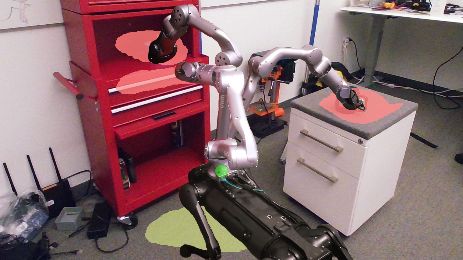
This paper introduces Spatial Diagrammatic Instructions (SDIs), an approach for human operators to specify objectives and constraints that are related to spatial regions in the working environment. Human operators are enabled to sketch out regions directly on camera images that correspond to the objectives and constraints. These sketches are projected to 3D spatial coordinates, and continuous Spatial Instruction Maps (SIMs) are learned upon them. These maps can then be integrated into optimization problems for tasks of robots. In particular, we demonstrate how Spatial Diagrammatic Instructions can be applied to solve the Base Placement Problem of mobile manipulators, which concerns the best place to put the manipulator to facilitate a certain task. Human operators can specify, via sketch, spatial regions of interest for a manipulation task and permissible regions for the mobile manipulator to be at. Then, an optimization problem that maximizes the manipulator's reachability, or coverage, over the designated regions of interest while remaining in the permissible regions is solved. We provide extensive empirical evaluations, and show that our formulation of Spatial Instruction Maps provides accurate representations of user-specified diagrammatic instructions. Furthermore, we demonstrate that our diagrammatic approach to the Mobile Base Placement Problem enables higher quality solutions and faster run-time.
Published at: IROS 2024